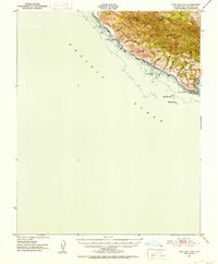
1951 Map of Port San Luis
USGS Topo · Published 1953About this map
Port San Luis serves as the coastal anchor for this mid-century topographic study, where the steep coastal bluffs of the San Luis Range meet the Pacific Ocean. This survey preserves the complex land tenure of the Cañada De Los Osos Y Pecho Y Islay land grant, showing a landscape defined by deep canyons such as Diablo Canyon, Coon Creek, and Islay Creek. The nautical importance of the region is evident at Point San Luis, where a Lighthouse and breakwater provide refuge. Inland, the terrain rises sharply to prominent peaks like Saddle Pk and Bald Knob, illustrating the difficult geography that kept this stretch of the Central Coast largely focused on maritime activity and ranching. Offshore hazards including Pecho Rock and Santa Rosa Reef are carefully charted, reflecting the integration of hydrographic data into the terrestrial survey.
Find a feature on this map
26 named features on this map. Tap any name to fly to it.
Don’t see what you’re looking for? This feature index may not catch every label — zoom into the map to look around manually.
Map Details
Editions of this 1951 Port San Luis Map
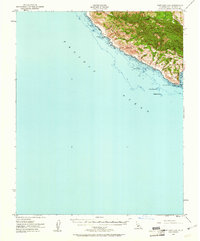
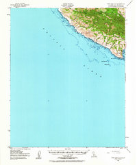
3 editions found
Other maps of this area

1897 · Port Harford
USGS Topo · 1:62,500

1897 · San Luis Obispo
USGS Topo · 1:62,500

1897 · Cayucos
USGS Topo · 1:62,500

1897 · Arroyo Grande
USGS Topo · 1:62,500

1900 · San Luis
USGS Topo · 1:125,000

1905 · Guadalupe
USGS Topo · 1:125,000

1937 · Cayucos
USGS Topo · 1:62,500

1941 · Port San Luis
USGS Topo · 1:62,500

1942 · Guadalupe
USGS Topo · 1:125,000

1942 · San Luis Obispo
USGS Topo · 1:62,500