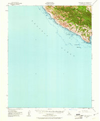
1951 Map of Port San Luis
USGS Topo · Published 1961About this map
Point San Luis anchors this 1951 coastal survey, where the San Luis Range meets the Pacific Ocean. This section of the Central California coast is defined by expansive land grants, including Rancho Canyon de los Osos y Pecho y Islay and Rancho San Miguelito, reflecting the enduring legacy of Mexican land tenure in San Luis Obispo County. The maritime landscape is marked by hazardous offshore features like Pecho Rock, Santa Rosa Reef, and Westdahl Rock, emphasizing the critical role of the Lighthouse at the point.
Find a feature on this map
22 named features on this map. Tap any name to fly to it.
Don’t see what you’re looking for? This feature index may not catch every label — zoom into the map to look around manually.
Map Details
Editions of this 1951 Port San Luis Map
3 editions found
Other maps of this area

1897 · Port Harford
USGS Topo · 1:62,500

1897 · San Luis Obispo
USGS Topo · 1:62,500

1897 · Cayucos
USGS Topo · 1:62,500

1897 · Arroyo Grande
USGS Topo · 1:62,500

1900 · San Luis
USGS Topo · 1:125,000

1905 · Guadalupe
USGS Topo · 1:125,000

1937 · Cayucos
USGS Topo · 1:62,500

1941 · Port San Luis
USGS Topo · 1:62,500

1942 · Guadalupe
USGS Topo · 1:125,000

1942 · San Luis Obispo
USGS Topo · 1:62,500