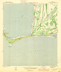
1982 Map of Port St. Joe
USGS Topo · Published 1993About this map
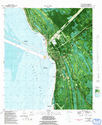
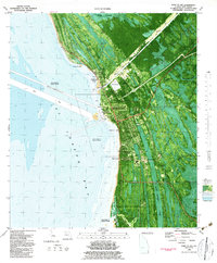
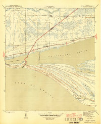
Port St Joe sits at a critical intersection of land and sea, documented here in a detailed orthophotomap that reveals the industrial and maritime character of the Gulf coast in the early 1980s. The landscape is defined by the extensive St Joseph Bay shoreline, protected by a prominent Seawall and featuring significant infrastructure like a Drawbridge at Highland View and a complex network of Sediment Tanks and Sediment Pond facilities. For genealogists and local historians, the inclusion of the Old St. Joseph Cem and Holly Hill Cem provides specific points for family research.
Find a feature on this map
38 named features on this map. Tap any name to fly to it.
Don’t see what you’re looking for? This feature index may not catch every label — zoom into the map to look around manually.
Map Details
Editions of this 1982 Port St. Joe Map
2 editions found
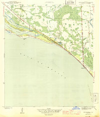
Other maps of this area
1943 · St Joseph Spit
USGS Topo · 1:31,680
1943 · Port St. Joe
USGS Topo · 1:31,680
1943 · Cape San Blas
USGS Topo · 1:31,680
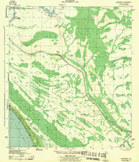
1943 · Overstreet
USGS Topo · 1:31,680

1943 · Indian Pass
USGS Topo · 1:24,000
1944 · Beacon Hill
USGS Topo · 1:31,680

1944 · White City
USGS Topo · 1:24,000
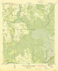
1945 · Lake Wimico
USGS Topo · 1:31,680

1945 · White City
USGS Topo · 1:31,680
1945 · Indian Pass
USGS Topo · 1:31,680