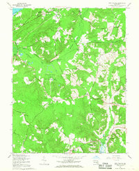
1966 Map of Port Tobacco
USGS Topo · Published 1968About this map
The historic Potomac shoreline near Chapman Point and the inland reaches of Charles County appear here in a mid-century revision. The landscape is defined by the U S Government Railroad and its various sidings, including Pomfret Siding and Beonsville Siding, which suggest a network tied to military or industrial transit through the dense woods. Significant historical estates and sites of religious importance are well-documented, notably Habre de Venture and Rose Hill, alongside the Mt Carmel Monastery.
Find a feature on this map
69 named features on this map. Tap any name to fly to it.
Don’t see what you’re looking for? This feature index may not catch every label — zoom into the map to look around manually.
Map Details
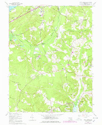
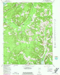
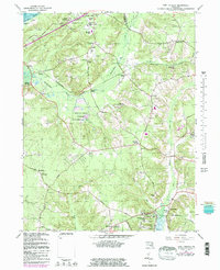
Editions of this 1966 Port Tobacco Map
4 editions found
Other maps of this area

1889 · Fredericksburg
USGS Topo · 1:125,000

1890 · Mt. Vernon
USGS Topo · 1:125,000

1891 · Mt. Vernon
USGS Topo · 1:125,000

1892 · Fredericksburg
USGS Topo · 1:125,000

1892 · Brandywine
USGS Topo · 1:62,500

1894 · Wicomico
USGS Topo · 1:62,500

1894 · Fredericksburg
USGS Topo · 1:125,000

1894 · Mt. Vernon
USGS Topo · 1:125,000

1895 · Wicomico
USGS Topo · 1:62,500

1895 · Brandywine
USGS Topo · 1:62,500