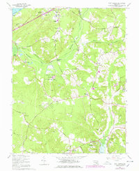
1966 Map of Port Tobacco
USGS Topo · Published 1978About this map
The historic riverside community of Port Tobacco serves as the focal point for this mid-century look at Charles County, where the landscape transitions from the tidewaters of the Potomac River to the inland agricultural and wooded tracts of the Myrtle Grove Wildlife Management Area. The map reveals a high concentration of institutional landmarks, including St Marys Star of the Sea Ch and St Johns Chapel, reflecting the deep-rooted parish history of Southern Maryland. The transport network is dominated by the U S Government Railroad, which cuts across the terrain with sidings at Bennsville and Pomfret. Significant manor houses and estates such as Habre de Venture and Rose Hill underscore the region's colonial heritage, while newer developments like Port Tobacco Riviera and the Maryland Airport indicate the shifting land use toward the late 20th century.
Find a feature on this map
69 named features on this map. Tap any name to fly to it.
Don’t see what you’re looking for? This feature index may not catch every label — zoom into the map to look around manually.
Map Details
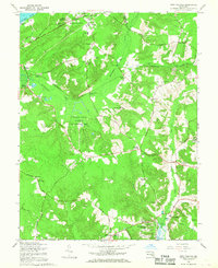
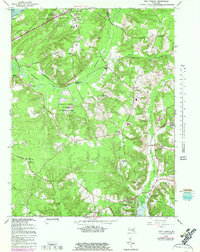
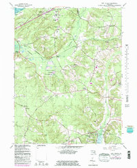
Editions of this 1966 Port Tobacco Map
4 editions found
Other maps of this area

1889 · Fredericksburg
USGS Topo · 1:125,000

1890 · Mt. Vernon
USGS Topo · 1:125,000

1891 · Mt. Vernon
USGS Topo · 1:125,000

1892 · Fredericksburg
USGS Topo · 1:125,000

1892 · Brandywine
USGS Topo · 1:62,500

1894 · Wicomico
USGS Topo · 1:62,500

1894 · Fredericksburg
USGS Topo · 1:125,000

1894 · Mt. Vernon
USGS Topo · 1:125,000

1895 · Wicomico
USGS Topo · 1:62,500

1895 · Brandywine
USGS Topo · 1:62,500