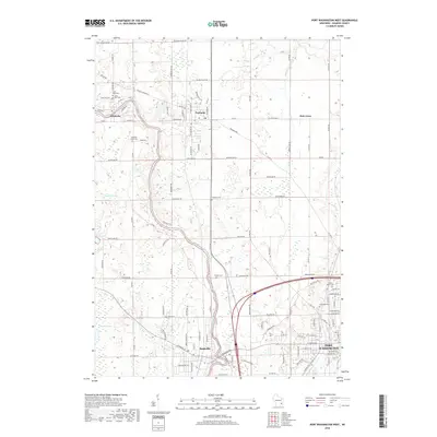
2018 Map of Port Washington West
USGS Topo · Published 2018About this map
The Milwaukee River winds through the heart of Ozaukee County in this recent topographical study, anchoring the settlements of Waubeka, Fredonia, and Saukville. To the west, the expansive Cedarburg Bog represents a significant natural wetland feature, contrasting with the structured agricultural and residential grids that define the western outskirts of Port Washington. The map serves as a vital resource for local history, documenting several smaller communities like Holy Cross and numerous rural burial sites that help trace the area's development.
Find a feature on this map
117 named features on this map. Tap any name to fly to it.
Don’t see what you’re looking for? This feature index may not catch every label — zoom into the map to look around manually.
Map Details
Editions of this 2018 Port Washington West Map
This is the sole edition of this map. No revisions or reprints were ever made.
Other maps of this area

1892 · Port Washington
USGS Topo · 1:62,500

1904 · West Bend
USGS Topo · 1:62,500

1904 · Port Washington
USGS Topo · 1:62,500

1954 · Sheboygan Falls
USGS Topo · 1:62,500

1954 · Milwaukee
USGS Topo · 1:250,000

1955 · Kewaskum
USGS Topo · 1:62,500

1957 · Madison
USGS Topo · 1:250,000

1958 · Milwaukee
USGS Topo · 1:250,000
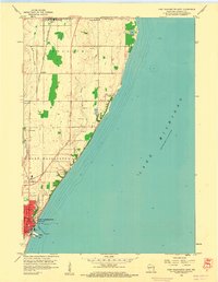
1958 · Port Washington East
USGS Topo · 1:24,000

1959 · Port Washington West
USGS Topo · 1:24,000