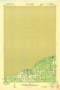
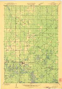
1946 Map of Port Wing
USGS Topo · Published 1946About this map
Lake Superior defines the northern edge of this coastal survey, where the rugged Bayfield County shoreline meets the water at Clay Banks. This mid-1940s landscape is anchored by the community of Port Wing, situated near the mouth of the Flag River, and the settlement of Herbster to the northeast. Compiled from aerial photographs and field examinations, the map details a network of early forest and logging trails, such as T Tr 18L and T Tr 103L, that branch off from State Highway No 13.
Find a feature on this map
22 named features on this map. Tap any name to fly to it.
Don’t see what you’re looking for? This feature index may not catch every label — zoom into the map to look around manually.
Map Details
Editions of this 1946 Port Wing Map
This is the sole edition of this map. No revisions or reprints were ever made.
Other maps of this area
1943 · Port Wing
USGS Topo · 1:48,000
1943 · Iron Lake
USGS Topo · 1:48,000
1944 · Moquah
USGS Topo · 1:48,000
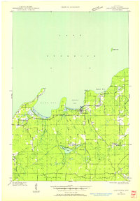
1944 · Cornucopia
USGS Topo · 1:48,000
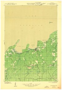
1946 · Cornucopia
USGS Topo · 1:48,000
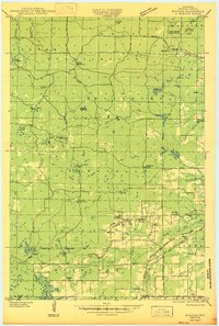
1947 · Moquah
USGS Topo · 1:48,000
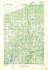
1947 · Brule
USGS Topo · 1:48,000
1947 · Iron Lake
USGS Topo · 1:48,000

1953 · Ashland
USGS Topo · 1:250,000
1954 · Two Harbors
USGS Topo · 1:250,000