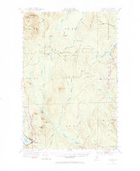
1953 Map of Portage
USGS Topo · Published 1984About this map
The Bangor and Aroostook railroad defines the transportation corridor of this Northern Maine wilderness, skirting the western edge of Portage Lake and connecting the settlement at Portage. This 1953 revision of earlier surveys reveals a landscape of working forests and remote sporting camps. Historic industry is visible at the Old Shingle Mill and the Lost Pit, while the presence of the Old Chain Bridge suggests older infrastructure over the waterways of T 15 R 5.
Find a feature on this map
68 named features on this map. Tap any name to fly to it.
Don’t see what you’re looking for? This feature index may not catch every label — zoom into the map to look around manually.
Map Details
Editions of this 1953 Portage Map
4 editions found

Other maps of this area

1927 · Stockholm
USGS Topo · 1:48,000

1927 · Square Lake
USGS Topo · 1:48,000

1928 · Eagle Lake
USGS Topo · 1:48,000

1928 · Winterville
USGS Topo · 1:48,000

1929 · Portage
USGS Topo · 1:62,500

1929 · Caribou
USGS Topo · 1:48,000

1930 · Greenlaw
USGS Topo · 1:48,000

1931 · Square Lake
USGS Topo · 1:62,500

1931 · Ashland
USGS Topo · 1:48,000

1931 · Eagle Lake
USGS Topo · 1:62,500