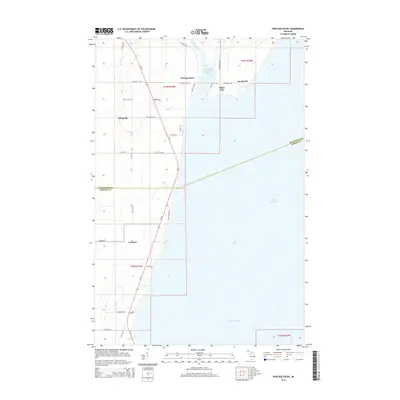
2014 Map of Portage Entry
USGS Topo · Published 2014About this map
Keweenaw Bay and the northern reaches of Lake Superior dominate this coastal landscape at the southeastern base of the Keweenaw Peninsula. The map details the vital waterway connecting the bay to the inland canal system through the Portage River, protected by the Portage River Harbor of Refuge. Local settlements like Portage Entry, Jacobsville, and White City line the eastern shore, while the interior is marked by a network of rural routes such as Singing Sands and Old Timer Rd. To the west, the corridor along Us-41 connects the communities of Klingville and Arnheim. This modern survey illustrates how long-established lakeside hamlets persist alongside essential navigational infrastructure, with the terrain transitioning from the marshy banks of the Snake River to the open waters of the Great Lakes.
Find a feature on this map
41 named features on this map. Tap any name to fly to it.
Don’t see what you’re looking for? This feature index may not catch every label — zoom into the map to look around manually.
Map Details
Editions of this 2014 Portage Entry Map
This is the sole edition of this map. No revisions or reprints were ever made.
Other maps of this area

1915 · Houghton
USGS Topo · 1:62,500

1946 · Chassell
USGS Topo · 1:24,000

1948 · Chassell
USGS Topo · 1:24,000

1954 · Traverse Island
USGS Topo · 1:24,000

1954 · Keweenaw Bay
USGS Topo · 1:62,500

1954 · Point Mills
USGS Topo · 1:24,000

1954 · Pelkie
USGS Topo · 1:62,500

1954 · Houghton
USGS Topo · 1:62,500

1958 · Hancock
USGS Topo · 1:250,000

1958 · Iron River
USGS Topo · 1:250,000