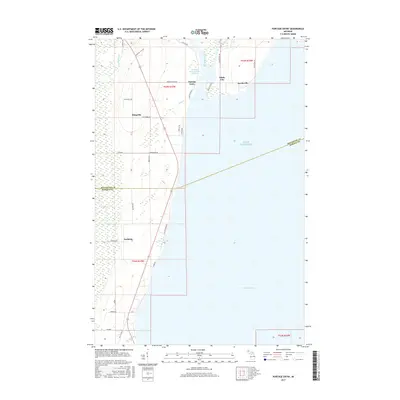
2017 Map of Portage Entry
USGS Topo · Published 2017About this map
Portage River serves as the focal point of this coastal landscape, where the waterway meets the expansive waters of Lake Superior. The settlement patterns here are deeply tied to the shore, with Portage Entry and Jacobsville flanking the river's mouth. This 2017 data reflects a region where maritime history and local family roots intersect, evidenced by numerous named roads like Kokko, Korhonen, and Virenius Rd that suggest long-standing homesteads.
Find a feature on this map
40 named features on this map. Tap any name to fly to it.
Don’t see what you’re looking for? This feature index may not catch every label — zoom into the map to look around manually.
Map Details
Editions of this 2017 Portage Entry Map
This is the sole edition of this map. No revisions or reprints were ever made.
Other maps of this area

1915 · Houghton
USGS Topo · 1:62,500

1946 · Chassell
USGS Topo · 1:24,000

1948 · Chassell
USGS Topo · 1:24,000

1954 · Traverse Island
USGS Topo · 1:24,000

1954 · Keweenaw Bay
USGS Topo · 1:62,500

1954 · Point Mills
USGS Topo · 1:24,000

1954 · Pelkie
USGS Topo · 1:62,500

1954 · Houghton
USGS Topo · 1:62,500

1958 · Hancock
USGS Topo · 1:250,000

1958 · Iron River
USGS Topo · 1:250,000