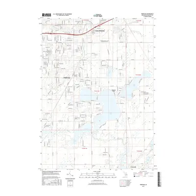
2017 Map of Portage
USGS Topo · Published 2017About this map
Kalamazoo and Portage anchor this landscape, defined by a chain of glacial lakes and the expansive Kalamazoo/Battle Creek International Airport in the northern section. The area is characterized by residential expansion surrounding prominent water bodies like Austin Lake, West Lake, and Long Lake. This 2017 survey details the urban-to-rural transition heading south toward Vicksburg, where the dense suburban grid gives way to protected natural areas and larger tracts of land.
Find a feature on this map
50 named features on this map. Tap any name to fly to it.
Don’t see what you’re looking for? This feature index may not catch every label — zoom into the map to look around manually.
Map Details
Editions of this 2017 Portage Map
This is the sole edition of this map. No revisions or reprints were ever made.
Other maps of this area

1916 · Kalamazoo
USGS Topo · 1:62,500

1918 · Kalamazoo
USGS Topo · 1:62,500

1918 · Galesburg
USGS Topo · 1:62,500

1918 · Leonidas
USGS Topo · 1:62,500

1922 · Schoolcraft
USGS Topo · 1:62,500

1943 · Kalamazoo
USGS Topo · 1:62,500

1943 · Schoolcraft
USGS Topo · 1:62,500

1944 · Leonidas
USGS Topo · 1:62,500

1944 · Galesburg
USGS Topo · 1:62,500

1947 · Galesburg
USGS Topo · 1:24,000