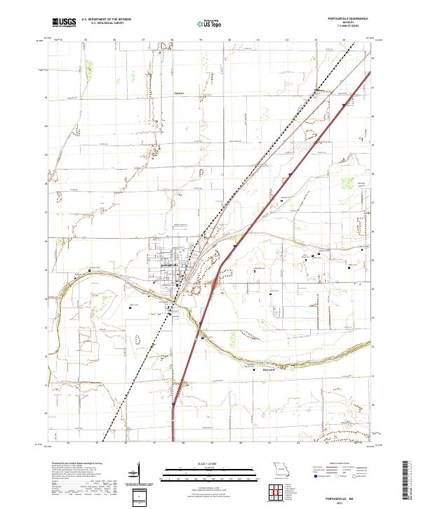
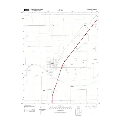
2021 Map of Portageville
USGS Topo · Published 2021About this map
Portageville serves as the central hub of this Missouri Bootheel landscape, where the grid of city streets meets an extensive network of drainage and transport routes. The region is marked by its numerous small burial grounds, many of which carry family or local names such as Meatte Cem, Atkinson Cem, and Scott Cem. These sites, along with larger grounds like Portageville Cem, offer significant points of interest for those researching the genealogy and local history of New Madrid and Pemiscot Counties.
Find a feature on this map
83 named features on this map. Tap any name to fly to it.
Don’t see what you’re looking for? This feature index may not catch every label — zoom into the map to look around manually.
Map Details
Editions of this 2021 Portageville Map
This is the sole edition of this map. No revisions or reprints were ever made.
Historical Maps of Jaywye Through Time
8 maps found
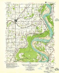
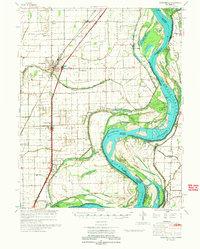
1939 Portageville
New Madrid County, MO
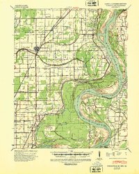
1955 Portageville
New Madrid County, MO
1971 Portageville
New Madrid County, MO
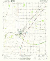
1973 Portageville
New Madrid County, MO
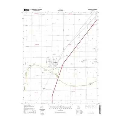
2012 Portageville
New Madrid County, MO
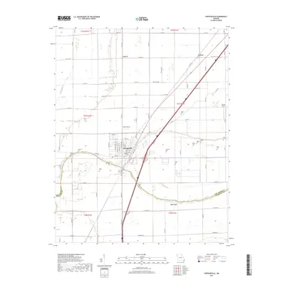
2015 Portageville
New Madrid County, MO
2017 Portageville
New Madrid County, MO
2021 Portageville
New Madrid County, MO