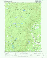
1968 Map of Porter Corners
USGS Topo · Published 1969About this map
Adirondack State Park covers the high ground of the Kayaderosseras Range in this late 1960s study, where the terrain is defined by a series of high-elevation wetlands known locally as "vlys." Features such as Miner Mill Vly, Blodgett Vly, and John West Vly illustrate a landscape of complex drainage feeding into Kayaderosseras Creek. The transition from the wooded heights of Spruce Mtn and Nick Mtn to the small clearings of the southern foothills reveals the area's rural character, anchored by the settlement at Porter Corners.
Find a feature on this map
74 named features on this map. Tap any name to fly to it.
Don’t see what you’re looking for? This feature index may not catch every label — zoom into the map to look around manually.
Map Details
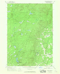
Editions of this 1968 Porter Corners Map
2 editions found
Other maps of this area

1899 · Broadalbin
USGS Topo · 1:62,500

1902 · Broadalbin
USGS Topo · 1:62,500

1902 · Saratoga
USGS Topo · 1:62,500

1903 · Luzerne
USGS Topo · 1:62,500

1910 · Stony Creek
USGS Topo · 1:62,500

1934 · Saratoga Springs
USGS Topo · 1:24,000

1935 · Middle Grove
USGS Topo · 1:24,000

1935 · Corinth
USGS Topo · 1:24,000

1942 · Saratoga
USGS Topo · 1:62,500

1945 · Edinburg
USGS Topo · 1:24,000