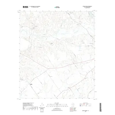
2019 Map of Porter Springs
USGS Topo · Published 2019About this map
Porter Springs serves as the primary hub in this corner of Houston County, situated amidst a landscape defined by its cemetery-crowned hills and winding bayous. The settlement pattern is scattered, with numerous small family and community burial grounds such as Mount Moriah Cem, Pleasant Grove Cem, and Hagan Cem dotting the ridges above the marshy lowlands. These sites provide a valuable record of early area families and rural congregations that once anchored the social life of the region.
Find a feature on this map
51 named features on this map. Tap any name to fly to it.
Don’t see what you’re looking for? This feature index may not catch every label — zoom into the map to look around manually.
Map Details
Editions of this 2019 Porter Springs Map
This is the sole edition of this map. No revisions or reprints were ever made.
Other maps of this area

1950 · Crockett
USGS Topo · 1:24,000

1951 · Crockett
USGS Topo · 1:24,000

1951 · Grapeland
USGS Topo · 1:24,000

1953 · Palestine
USGS Topo · 1:250,000

1957 · Palestine
USGS Topo · 1:250,000

1963 · Lovelady North
USGS Topo · 1:24,000

1964 · Austonio
USGS Topo · 1:24,000

1964 · Porter Springs
USGS Topo · 1:24,000

1964 · Pearsons Chapel
USGS Topo · 1:24,000

1964 · Halls Bluff
USGS Topo · 1:24,000