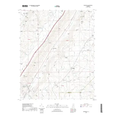
2018 Map of Portersville
USGS Topo · Published 2018About this map
Collinsville anchors the southwest corner of this DeKalb County landscape, where the valley floor meets the dramatic rising slopes of Lookout Mountain. The terrain is defined by a series of parallel ridges and valleys, including Shinbone Ridge and Big Wills Valley, which have dictated settlement patterns and road networks for generations. For those researching local families, the map is densely marked with family-named landmarks and resting places, such as Anthony Collins Cem, Warren Stewart Cem, and Plunket Cem.
Find a feature on this map
166 named features on this map. Tap any name to fly to it.
Don’t see what you’re looking for? This feature index may not catch every label — zoom into the map to look around manually.
Map Details
Editions of this 2018 Portersville Map
This is the sole edition of this map. No revisions or reprints were ever made.
Other maps of this area

1893 · Fort Payne
USGS Topo · 1:125,000

1898 · Fort Payne
USGS Topo · 1:125,000

1900 · Fort Payne
USGS Topo · 1:125,000

1936 · Crossville
USGS Topo · 1:24,000

1936 · Roden Gap
USGS Topo · 1:24,000

1936 · Chavies
USGS Topo · 1:24,000
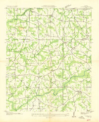
1936 · Fyffe
USGS Topo · 1:24,000

1946 · Portersville
USGS Topo · 1:24,000

1946 · Ft Payne
USGS Topo · 1:24,000
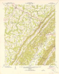
1946 · Chavies
USGS Topo · 1:24,000