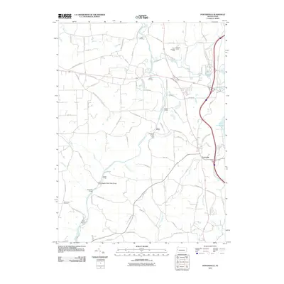
2010 Map of Portersville
USGS Topo · Published 2010About this map
Slippery Rock Creek defines the local landscape as it carves through the dramatic Slippery Rock Creek Gorge, a central geographic feature of this Butler County region. The waterway is punctuated by several significant crossings, including Kildoo Bridge, Eckert Bridge, and Breakneck Bridge, which speak to the area's historic transit routes. Near the creek's upper reaches, The Wilroy Iron Furnace stands as a marker of the nineteenth-century industrial activity that once utilized local resources.
Find a feature on this map
100 named features on this map. Tap any name to fly to it.
Don’t see what you’re looking for? This feature index may not catch every label — zoom into the map to look around manually.
Map Details
Editions of this 2010 Portersville Map
This is the sole edition of this map. No revisions or reprints were ever made.
Other maps of this area

1902 · New Castle
USGS Topo · 1:62,500

1904 · Newcastle
USGS Topo · 1:62,500

1905 · Neshannock
USGS Topo · 1:62,500

1907 · Neshannock
USGS Topo · 1:62,500

1908 · Zelienople
USGS Topo · 1:62,500

1910 · Zelienople
USGS Topo · 1:62,500

1913 · Mercer
USGS Topo · 1:62,500

1939 · Mercer
USGS Topo · 1:62,500

1943 · Mercer
USGS Topo · 1:62,500

1950 · Cleveland
USGS Topo · 1:250,000
Featured Places
- Portersville, PA
- Wayne Township, PA
- Princeton, Slippery Rock Township
- Rose Point, Slippery Rock Township
- Worth Township, PA