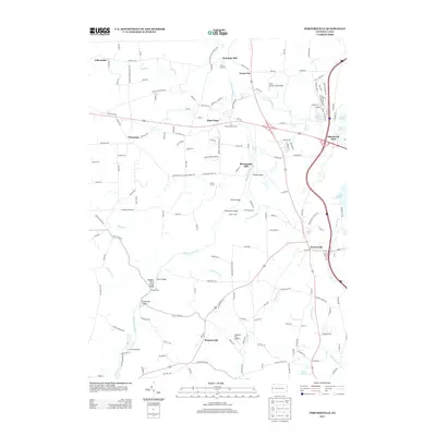
2013 Map of Portersville
USGS Topo · Published 2013About this map
Slippery Rock Cr carves a deep path through this landscape, creating the Slippery Rock Creek Gorge and setting the stage for the region's early industrial and recreational history. The presence of The Willroy Iron Furnace near Rose Point points to the area's 19th-century manufacturing roots, while the grist mill at McConnells Mill became a focal point for the surrounding rural communities of Grant City and Princeton.
Find a feature on this map
165 named features on this map. Tap any name to fly to it.
Don’t see what you’re looking for? This feature index may not catch every label — zoom into the map to look around manually.
Map Details
Editions of this 2013 Portersville Map
This is the sole edition of this map. No revisions or reprints were ever made.
Other maps of this area

1902 · New Castle
USGS Topo · 1:62,500

1904 · Newcastle
USGS Topo · 1:62,500

1905 · Neshannock
USGS Topo · 1:62,500

1907 · Neshannock
USGS Topo · 1:62,500

1908 · Zelienople
USGS Topo · 1:62,500

1910 · Zelienople
USGS Topo · 1:62,500

1913 · Mercer
USGS Topo · 1:62,500

1939 · Mercer
USGS Topo · 1:62,500

1943 · Mercer
USGS Topo · 1:62,500

1950 · Cleveland
USGS Topo · 1:250,000
Featured Places
- Portersville, PA
- Wayne Township, PA
- Princeton, Slippery Rock Township
- Rose Point, Slippery Rock Township
- Worth Township, PA