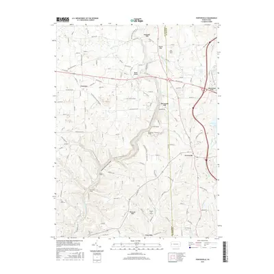
2016 Map of Portersville
USGS Topo · Published 2016About this map
Slippery Rock Creek Gorge dominates the western half of this quadrangle, where the steep, winding waterway is crossed by several notable spans including Kildoo Bridge, Eckert Bridge, and Harris Bridge. The landscape reflects a mix of early industrial heritage and modern recreational space, with historic sites like Kennedy Mill and McConnells Mill situated along the creeks that carved these deep valleys. To the east, the borough of Portersville sits near the western reaches of Lake Arthur, a major water feature that has reshaped the local topography. This 2016 survey captures the area’s complex road network, including the intersection of Old US Hwy 422 and modern routes, while also documenting smaller rural centers such as Rose Point, Pleasant Hill, and the grounds of Mount Hope Cem.
Find a feature on this map
125 named features on this map. Tap any name to fly to it.
Don’t see what you’re looking for? This feature index may not catch every label — zoom into the map to look around manually.
Map Details
Editions of this 2016 Portersville Map
This is the sole edition of this map. No revisions or reprints were ever made.
Other maps of this area

1902 · New Castle
USGS Topo · 1:62,500

1904 · Newcastle
USGS Topo · 1:62,500

1905 · Neshannock
USGS Topo · 1:62,500

1907 · Neshannock
USGS Topo · 1:62,500

1908 · Zelienople
USGS Topo · 1:62,500

1910 · Zelienople
USGS Topo · 1:62,500

1913 · Mercer
USGS Topo · 1:62,500

1939 · Mercer
USGS Topo · 1:62,500

1943 · Mercer
USGS Topo · 1:62,500

1950 · Cleveland
USGS Topo · 1:250,000
Featured Places
- Portersville, PA
- Wayne Township, PA
- Princeton, Slippery Rock Township
- Rose Point, Slippery Rock Township
- Worth Township, PA