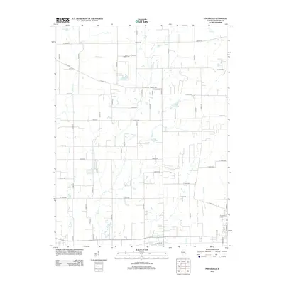
2012 Map of Porterville
USGS Topo · Published 2012About this map
Porterville sits at the heart of this Crawford County landscape, where the agricultural grid is deeply etched into the countryside. The geography is defined by a dense network of waterways, including the winding course of Big Cr and its tributaries like Grassy Cr and Dogwood Cr. This 2012 survey shows the persistent legacy of the local petroleum industry through the Robinson Oil Field, which spans a significant portion of the western territory. For those tracing family histories in the area, the map preserves the locations of Mount Pleasant Cem in the north and Kirk Cem further south. The land is dotted with small bodies of water such as Ridgeway Lake, Athey Lake, and Burcham Pond, illustrating the drainage patterns of this rural Illinois township.
Find a feature on this map
67 named features on this map. Tap any name to fly to it.
Don’t see what you’re looking for? This feature index may not catch every label — zoom into the map to look around manually.
Map Details
Editions of this 2012 Porterville Map
This is the sole edition of this map. No revisions or reprints were ever made.
Other maps of this area

1910 · Hardinville
USGS Topo · 1:62,500

1917 · Birds
USGS Topo · 1:62,500

1942 · Birds
USGS Topo · 1:62,500

1953 · Indianapolis
USGS Topo · 1:250,000

1956 · Indianapolis
USGS Topo · 1:250,000

1956 · Annapolis
USGS Topo · 1:62,500

1956 · Vincennes
USGS Topo · 1:250,000

1957 · Indianapolis
USGS Topo · 1:250,000

1957 · Vincennes
USGS Topo · 1:250,000

1957 · Hutsonville
USGS Topo · 1:62,500