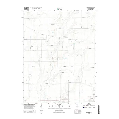
2015 Map of Porterville
USGS Topo · Published 2015About this map
Porterville serves as the central focal point for this rural landscape in Crawford County, defined by a dense network of numbered county roads and crisscrossing waterways. The terrain is notably carved by Big Cr and Little Cr, which feed into local basins such as Ridgeway Lake and Burcham Pond. To the south, the settlement of Stoy and the northern edge of Robinson indicate the transition toward more concentrated residential and commercial activity. For those researching local heritage, the map preserves the locations of several community landmarks, including Mount Pleasant Cem, Prairie Grove Cem, and Kirk Cem. This 2015 survey illustrates a modern Midwestern agricultural grid where traditional homestead locations and family-named cemeteries remain prominent amidst the evolving road systems of the Illinois countryside.
Find a feature on this map
68 named features on this map. Tap any name to fly to it.
Don’t see what you’re looking for? This feature index may not catch every label — zoom into the map to look around manually.
Map Details
Editions of this 2015 Porterville Map
This is the sole edition of this map. No revisions or reprints were ever made.
Other maps of this area

1910 · Hardinville
USGS Topo · 1:62,500

1917 · Birds
USGS Topo · 1:62,500

1942 · Birds
USGS Topo · 1:62,500

1953 · Indianapolis
USGS Topo · 1:250,000

1956 · Indianapolis
USGS Topo · 1:250,000

1956 · Annapolis
USGS Topo · 1:62,500

1956 · Vincennes
USGS Topo · 1:250,000

1957 · Indianapolis
USGS Topo · 1:250,000

1957 · Vincennes
USGS Topo · 1:250,000

1957 · Hutsonville
USGS Topo · 1:62,500