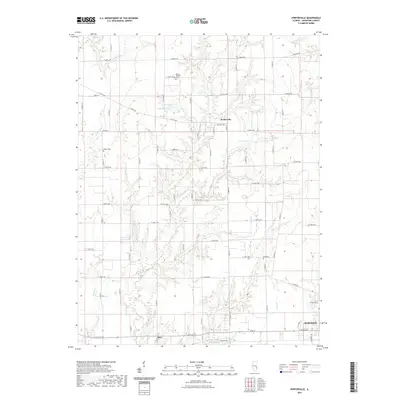
2021 Map of Porterville
USGS Topo · Published 2021About this map
Porterville and the surrounding Crawford County agricultural lands are defined by a complex network of creeks that carve through the Illinois prairie. Several family-named or local burial grounds including Mount Pleasant Cem, Wilkin Cem, and Kirk Cem are located throughout the township, providing essential coordinates for genealogical research in the region. The landscape transitions from the small settlement of Stoy in the south toward the northern outskirts of Robinson. Water features are prominent throughout the quadrangle, with Ridgeway Lake, Burcham Pond, and Athey Lake interspersed among the drainage basins of Big Cr and Hiser Cr. The map reveals a strict section-line road grid, characteristic of the Midwest, where routes like E 1800th Ave and Co Hwy 6 provide the primary framework for the rural homesteads and farms of the early 21st century.
Find a feature on this map
69 named features on this map. Tap any name to fly to it.
Don’t see what you’re looking for? This feature index may not catch every label — zoom into the map to look around manually.
Map Details
Editions of this 2021 Porterville Map
This is the sole edition of this map. No revisions or reprints were ever made.
Other maps of this area

1910 · Hardinville
USGS Topo · 1:62,500

1917 · Birds
USGS Topo · 1:62,500

1942 · Birds
USGS Topo · 1:62,500

1953 · Indianapolis
USGS Topo · 1:250,000

1956 · Indianapolis
USGS Topo · 1:250,000

1956 · Annapolis
USGS Topo · 1:62,500

1956 · Vincennes
USGS Topo · 1:250,000

1957 · Indianapolis
USGS Topo · 1:250,000

1957 · Vincennes
USGS Topo · 1:250,000

1957 · Hutsonville
USGS Topo · 1:62,500