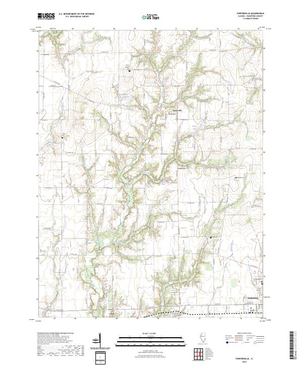
2024 Map of Porterville
USGS Topo · Published 2024About this map
Porterville and the northern reaches of Robinson anchor this survey of Crawford County, Illinois, where the landscape is defined by a dense network of tributaries feeding into Big Creek. The terrain is etched with numerous waterways including Bennett Creek, Hutson Creek, and Onion Creek, creating a varied topography that dictated the placement of early rural infrastructure. Local history is preserved in several small burial grounds such as Mount Pleasant Cem, Wilkin Cem, and Kirk Cem, which serve as quiet landmarks among the section-line roads.
Find a feature on this map
45 named features on this map. Tap any name to fly to it.
Don’t see what you’re looking for? This feature index may not catch every label — zoom into the map to look around manually.
Map Details
Editions of this 2024 Porterville Map
This is the sole edition of this map. No revisions or reprints were ever made.
Other maps of this area

1910 · Hardinville
USGS Topo · 1:62,500

1917 · Birds
USGS Topo · 1:62,500

1942 · Birds
USGS Topo · 1:62,500

1953 · Indianapolis
USGS Topo · 1:250,000

1956 · Indianapolis
USGS Topo · 1:250,000

1956 · Annapolis
USGS Topo · 1:62,500

1956 · Vincennes
USGS Topo · 1:250,000

1957 · Indianapolis
USGS Topo · 1:250,000

1957 · Vincennes
USGS Topo · 1:250,000

1957 · Hutsonville
USGS Topo · 1:62,500