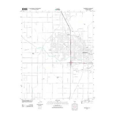
2012 Map of Porterville
USGS Topo · Published 2012About this map
Porterville serves as the central hub of this Tulare County landscape, where the Tule River and Porter Slough weave through a grid of agricultural and residential development. The map details a transition from the dense street networks of neighborhoods like Westfield and Scenic Heights to the sprawling agricultural tracts of Chroman Farms and Nuckols Ranch. To the south and west, the massive infrastructure of the Friant-Kern Canal cuts across the valley floor, highlighting the critical role of water management in this arid region. For local historians, the sheet identifies several distinct outlying communities and junctions, including Zante, Lois, and Nanceville. Significant local landmarks such as the Porterville Municipal Airport and Porterville Water Works underscore the city's role as a regional service center, while the Saint Anns Cem and Vandalia Cem provide specific points of interest for genealogical research.
Find a feature on this map
71 named features on this map. Tap any name to fly to it.
Don’t see what you’re looking for? This feature index may not catch every label — zoom into the map to look around manually.
Map Details
Editions of this 2012 Porterville Map
This is the sole edition of this map. No revisions or reprints were ever made.
Other maps of this area

1904 · Kaweah
USGS Topo · 1:125,000

1909 · Kaweah
USGS Topo · 1:125,000

1927 · Cairns Corner
USGS Topo · 1:31,680

1928 · Woodville
USGS Topo · 1:31,680

1928 · Lindsay
USGS Topo · 1:31,680

1929 · Sausalito School
USGS Topo · 1:31,680

1929 · Porterville
USGS Topo · 1:31,680

1929 · Ducor
USGS Topo · 1:31,680

1936 · White River
USGS Topo · 1:62,500

1936 · Tobias Peak
USGS Topo · 1:125,000