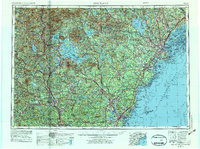
1956 Map of Portland
USGS Topo · Published 1975About this map
The Piscataqua River and Saco River basins anchor this mid-century portrait of coastal New England, capturing a landscape defined by the reach of the Maine Central and Boston and Maine railroads. The coastal corridor shows a dense network of towns from Kittery and Portsmouth up to Portland, where the urban center transitions into the maritime geography of Casco Bay. Inland, the map reveals the massive scale of Lake Winnipesaukee and Sebago Lake, centers for water-based industry and early recreation that lie just south of the White Mountain National Forest.
Find a feature on this map
69 named features on this map. Tap any name to fly to it.
Don’t see what you’re looking for? This feature index may not catch every label — zoom into the map to look around manually.
Map Details
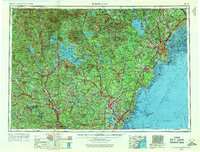
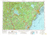
Editions of this 1956 Portland Map
4 editions found

Other maps of this area

1888 · Newburyport
USGS Topo · 1:62,500

1888 · Haverhill
USGS Topo · 1:62,500

1890 · Haverhill
USGS Topo · 1:62,500

1890 · Newburyport
USGS Topo · 1:62,500

1891 · Portland
USGS Topo · 1:62,500

1891 · Biddeford
USGS Topo · 1:62,500

1891 · Berwick
USGS Topo · 1:62,500

1891 · Kennebunk
USGS Topo · 1:62,500

1891 · Buxton
USGS Topo · 1:62,500

1891 · Newfield
USGS Topo · 1:62,500