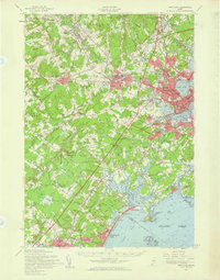
1957 Map of Portland
USGS Topo · Published 1960About this map
Portland and its surrounding coastal communities are captured here during a period of significant mid-century expansion. The bustling Portland Harbor and Back Cove anchor the urban center, while the emerging Maine Turnpike signals the growing importance of regional highway travel. The landscape is a complex network of coastal drainages, including the Stroudwater River and Nonesuch River, which define the transition from the city into the marshes of Scarboro.
Find a feature on this map
125 named features on this map. Tap any name to fly to it.
Don’t see what you’re looking for? This feature index may not catch every label — zoom into the map to look around manually.
Map Details
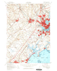
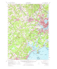
Editions of this 1957 Portland Map
3 editions found
Other maps of this area

1891 · Portland
USGS Topo · 1:62,500

1891 · Biddeford
USGS Topo · 1:62,500

1891 · Kennebunk
USGS Topo · 1:62,500

1891 · Buxton
USGS Topo · 1:62,500

1892 · Freeport
USGS Topo · 1:62,500

1892 · Buxton
USGS Topo · 1:62,500

1893 · Kennebunk
USGS Topo · 1:62,500

1893 · Biddeford
USGS Topo · 1:62,500

1893 · Portland
USGS Topo · 1:62,500

1893 · Casco Bay
USGS Topo · 1:62,500