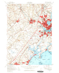
1957 Map of Portland
USGS Topo · Published 1960About this map
The Presumpscot River winds through this coastal Maine landscape, connecting industrial centers like Westbrook and South Windham to the Atlantic. In the mid-1950s, Portland stands as a dense hub of commerce and transportation, with the Canadian National Railway and Boston and Maine Railroad converging near Back Cove. The map documents a period of significant regional infrastructure, including the newly constructed Maine Turnpike and the Portland Municipal Airport.
Find a feature on this map
152 named features on this map. Tap any name to fly to it.
Don’t see what you’re looking for? This feature index may not catch every label — zoom into the map to look around manually.
Map Details
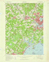
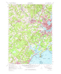
Editions of this 1957 Portland Map
3 editions found
Other maps of this area

1891 · Portland
USGS Topo · 1:62,500

1891 · Biddeford
USGS Topo · 1:62,500

1891 · Kennebunk
USGS Topo · 1:62,500

1891 · Buxton
USGS Topo · 1:62,500

1892 · Freeport
USGS Topo · 1:62,500

1892 · Buxton
USGS Topo · 1:62,500

1893 · Kennebunk
USGS Topo · 1:62,500

1893 · Biddeford
USGS Topo · 1:62,500

1893 · Portland
USGS Topo · 1:62,500

1893 · Casco Bay
USGS Topo · 1:62,500