
1963 Map of Portland
USGS Topo · Published 1963About this map
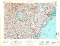
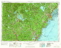
The White Mountains dominate the northwestern reaches of this region, home to the high summits of Mt. Washington and the presidential range within the White Mountain National Forest. This mid-century survey illustrates a complex geography of water and transit, where the Saco River and Merrimack River drain high terrain toward the Atlantic coast. Major inland water bodies like Lake Winnipesaukee and Sebago Lake anchor seasonal settlement patterns, while the coastal centers of Portland, Biddeford, and Portsmouth serve as industrial and maritime hubs.
Find a feature on this map
274 named features on this map. Tap any name to fly to it.
Don’t see what you’re looking for? This feature index may not catch every label — zoom into the map to look around manually.
Map Details
Editions of this 1963 Portland Map
3 editions found
Other maps of this area

1888 · Newburyport
USGS Topo · 1:62,500

1888 · Haverhill
USGS Topo · 1:62,500

1890 · Haverhill
USGS Topo · 1:62,500

1890 · Newburyport
USGS Topo · 1:62,500

1891 · Portland
USGS Topo · 1:62,500

1891 · Biddeford
USGS Topo · 1:62,500

1891 · Berwick
USGS Topo · 1:62,500

1891 · Kennebunk
USGS Topo · 1:62,500

1891 · Buxton
USGS Topo · 1:62,500

1891 · Newfield
USGS Topo · 1:62,500