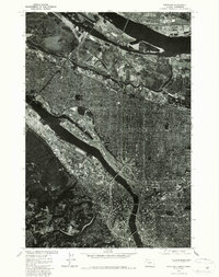
1975 Map of Portland
USGS Topo · Published 1987About this map
Portland and Vancouver are captured in high-detail aerial photography in this 1975 orthophotoquad, showing the dense urban and industrial development along the river systems of the Pacific Northwest. Unlike a traditional topographic map, this survey uses processed imagery to show the physical footprint of mid-1970s infrastructure, from the expansive docklands and rail yards to the residential grids stretching toward Sylvan in the southwest. The view reveals the complexity of the bridges and shipping channels that defined the region's economy just before the tech-driven growth of the late 20th century. Local historians can trace the exact configuration of neighborhoods and industrial zones, providing a clear visual record of the built environment at a pivotal moment of regional transition.
Find a feature on this map
3 named features on this map. Tap any name to fly to it.
Don’t see what you’re looking for? This feature index may not catch every label — zoom into the map to look around manually.
Map Details
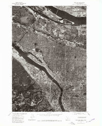
Editions of this 1975 Portland Map
2 editions found
Other maps of this area

1897 · Portland
USGS Topo · 1:62,500

1905 · Portland
USGS Topo · 1:62,500

1914 · Oregon City
USGS Topo · 1:62,500

1915 · Hillsboro
USGS Topo · 1:62,500

1916 · Tualatin
USGS Topo · 1:62,500

1918 · Hillsboro
USGS Topo · 1:62,500

1939 · Oregon City
USGS Topo · 1:62,500

1939 · Tualatin
USGS Topo · 1:62,500

1940 · Tualatin
USGS Topo · 1:62,500

1940 · Hillsboro
USGS Topo · 1:62,500