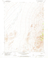
1968 Map of Portuguese Mtn NW
USGS Topo · Published 1973About this map
Big Sand Springs Valley dominates the western half of this 1968 survey, presenting a broad, arid basin shaped by the Sand Springs Wash. To the east, the topography shifts dramatically toward the high terrain of the Pancake Range and the distinct Red Hills. This landscape is marked by the limited but essential presence of water sources, such as Etcheverria Well, which provided a critical waypoint for those navigating this portion of Nye County.
Find a feature on this map
6 named features on this map. Tap any name to fly to it.
Don’t see what you’re looking for? This feature index may not catch every label — zoom into the map to look around manually.
Map Details
Editions of this 1968 Portuguese Mtn NW Map
2 editions found
Other maps of this area

1956 · Lund
USGS Topo · 1:250,000

1956 · Tonopah
USGS Topo · 1:250,000

1959 · Tonopah
USGS Topo · 1:250,000

1960 · Lund
USGS Topo · 1:250,000

1962 · Tonopah
USGS Topo · 1:250,000

1967 · Moores Station
USGS Topo · 1:62,500

1967 · Moores Station SE
USGS Topo · 1:24,000

1967 · Chaos Creek
USGS Topo · 1:24,000

1968 · Portuguese Mtn
USGS Topo · 1:62,500
1968 · Brown Summit SW
USGS Topo · 1:24,000