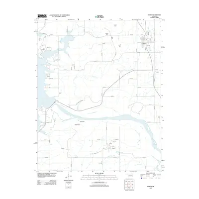
2012 Map of Porum
USGS Topo · Published 2012About this map
Porum sits at the intersection of a grid-style street network and the rural roads of Muskogee County, positioned just north of the Canadian River. This 2012 survey captures the area’s distinct geography, where the river's path is carved between Taylor Bluff and Sandy Ridge. To the west, the expansive waters of Eufaula Lake dominate the landscape, while smaller features like Porum Lake provide local landmarks for the town.
Find a feature on this map
70 named features on this map. Tap any name to fly to it.
Don’t see what you’re looking for? This feature index may not catch every label — zoom into the map to look around manually.
Map Details
Editions of this 2012 Porum Map
This is the sole edition of this map. No revisions or reprints were ever made.
Other maps of this area

1900 · Sansbois
USGS Topo · 1:125,000

1909 · Sans Bois
USGS Topo · 1:125,000

1911 · Sansbois
USGS Topo · 1:125,000

1946 · Fort Smith
USGS Topo · 1:250,000

1962 · Stigler West
USGS Topo · 1:24,000

1963 · Porum
USGS Topo · 1:24,000

1963 · Warner NW
USGS Topo · 1:24,000
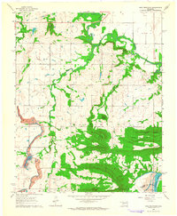
1963 · Holt Mountain
USGS Topo · 1:24,000

1963 · Texanna
USGS Topo · 1:24,000
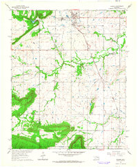
1963 · Warner
USGS Topo · 1:24,000