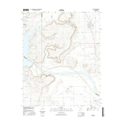
2016 Map of Porum
USGS Topo · Published 2016About this map
The Canadian River cuts a wide path through this Oklahoma landscape, defining the boundaries where McIntosh, Muskogee, and Haskell Counties meet. Near the town of Porum, the terrain is marked by distinctive elevations like Hi Early Mtn and Hensley Mtn, with Porum Lake and the Oknoname 101017 Reservoir providing significant water storage for the region. The map reveals a network of rural settlements and family landmarks, from the residential clusters at Redland Acres to the southern village of Whitefield.
Find a feature on this map
62 named features on this map. Tap any name to fly to it.
Don’t see what you’re looking for? This feature index may not catch every label — zoom into the map to look around manually.
Map Details
Editions of this 2016 Porum Map
This is the sole edition of this map. No revisions or reprints were ever made.
Other maps of this area

1900 · Sansbois
USGS Topo · 1:125,000

1909 · Sans Bois
USGS Topo · 1:125,000

1911 · Sansbois
USGS Topo · 1:125,000

1946 · Fort Smith
USGS Topo · 1:250,000

1962 · Stigler West
USGS Topo · 1:24,000

1963 · Porum
USGS Topo · 1:24,000

1963 · Warner NW
USGS Topo · 1:24,000
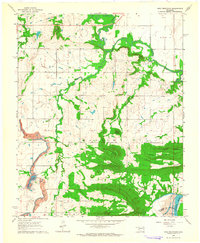
1963 · Holt Mountain
USGS Topo · 1:24,000

1963 · Texanna
USGS Topo · 1:24,000
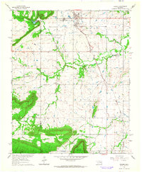
1963 · Warner
USGS Topo · 1:24,000