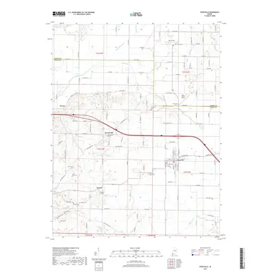
2019 Map of Poseyville
USGS Topo · Published 2019About this map
The Black River flows through this southwestern Indiana landscape, defining the agricultural character of the region near the border of Gibson and Posey counties. The town of Poseyville serves as the central hub, surrounded by a dense network of country roads and family cemeteries that offer significant value for genealogical research. Smaller settlements like Stewartsville, Barrett, and the uniquely named Rapture are linked by these corridors, reflecting the area's long-standing rural community structure. Local aviation is represented by Ralph E Koch Airport and Bugtown Airport, while the terrain is marked by numerous drainage features such as Belcher Ditch and Higginbotham Ditch. The abundance of historic burial sites, including the Miller Family Cem and Saint Francis Xavier Cem, provides a detailed record of the families who established the homesteads across these townships.
Find a feature on this map
126 named features on this map. Tap any name to fly to it.
Don’t see what you’re looking for? This feature index may not catch every label — zoom into the map to look around manually.
Map Details
Editions of this 2019 Poseyville Map
This is the sole edition of this map. No revisions or reprints were ever made.
Other maps of this area

1901 · Princeton
USGS Topo · 1:62,500

1901 · Haubstadt
USGS Topo · 1:62,500

1903 · Haubstadt
USGS Topo · 1:62,500

1903 · New Harmony
USGS Topo · 1:62,500

1903 · Princeton
USGS Topo · 1:62,500

1903 · Patoka
USGS Topo · 1:125,000

1904 · Mount Carmel
USGS Topo · 1:62,500

1938 · New Harmony
USGS Topo · 1:62,500

1956 · Vincennes
USGS Topo · 1:250,000

1957 · Vincennes
USGS Topo · 1:250,000