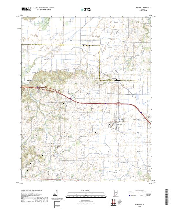
2022 Map of Poseyville
USGS Topo · Published 2022About this map
Poseyville serves as the primary hub of this southwestern Indiana landscape, where the agricultural grid is etched across the lowlands near the Black River. The region's history is preserved in a dense network of family and community burial grounds, from the Saint Francis Xavier Cem near the town center to the Miller Family Cem and Hancock Cem further afield. These sites, alongside settlements like Stewartsville and the curiously named Rapture, offer a detailed look at the local genealogy and land use patterns that have shaped the area for generations.
Find a feature on this map
108 named features on this map. Tap any name to fly to it.
Don’t see what you’re looking for? This feature index may not catch every label — zoom into the map to look around manually.
Map Details
Editions of this 2022 Poseyville Map
This is the sole edition of this map. No revisions or reprints were ever made.
Other maps of this area

1901 · Princeton
USGS Topo · 1:62,500

1901 · Haubstadt
USGS Topo · 1:62,500

1903 · Haubstadt
USGS Topo · 1:62,500

1903 · New Harmony
USGS Topo · 1:62,500

1903 · Princeton
USGS Topo · 1:62,500

1903 · Patoka
USGS Topo · 1:125,000

1904 · Mount Carmel
USGS Topo · 1:62,500

1938 · New Harmony
USGS Topo · 1:62,500

1956 · Vincennes
USGS Topo · 1:250,000

1957 · Vincennes
USGS Topo · 1:250,000