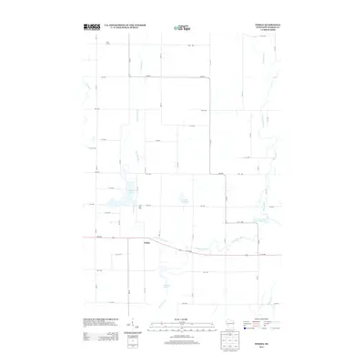
2013 Map of Poskin
USGS Topo · Published 2013About this map
Vermillion River and Yellow River dominate this portion of Barron County, carving through a landscape primarily defined by its water resources and agricultural holdings. The settlement of Poskin sits at a crossroads south of Poskin Lake, serving as a central point for the surrounding rural territory. The 2013 survey illustrates a sophisticated network of county roads and avenues, such as Co HWY-T, that organize the farmland and connect named homesteads like Berg Farms and Silver Sky Farm. Significant water bodies including Crystal Bay Lake and the managed waters of Barron Flowage Number Three 109 indicate a geography shaped by both natural drainage and modern hydraulic control. The presence of smaller features like Engle Cr and the Sweeney Pond system further detail the intricate hydrology of the region.
Find a feature on this map
47 named features on this map. Tap any name to fly to it.
Don’t see what you’re looking for? This feature index may not catch every label — zoom into the map to look around manually.
Map Details
Editions of this 2013 Poskin Map
This is the sole edition of this map. No revisions or reprints were ever made.
Other maps of this area

1950 · Turtle Lake
USGS Topo · 1:62,500

1951 · Cumberland
USGS Topo · 1:48,000

1951 · Shell Lake
USGS Topo · 1:48,000

1951 · Barron
USGS Topo · 1:62,500

1952 · Turtle Lake
USGS Topo · 1:62,500

1953 · Rice Lake
USGS Topo · 1:250,000

1953 · Stillwater
USGS Topo · 1:250,000

1955 · Stillwater
USGS Topo · 1:250,000

1956 · Cumberland
USGS Topo · 1:62,500

1958 · Stillwater
USGS Topo · 1:250,000