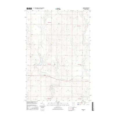
2015 Map of Poskin
USGS Topo · Published 2015About this map
The Vermillion River winds through this section of Barron County, anchoring a landscape defined by its glacial hydrology and agricultural grid. The settlement of Poskin sits at a crossroads near the southern shore of Poskin Lake, surrounded by a network of rural cemeteries including Ebenezer Cem, Saint Lukes Cem, and the Poskin Lutheran Cem. These small burial grounds, often associated with early local congregations, serve as important markers for genealogists tracing family histories in the Arland area.
Find a feature on this map
38 named features on this map. Tap any name to fly to it.
Don’t see what you’re looking for? This feature index may not catch every label — zoom into the map to look around manually.
Map Details
Editions of this 2015 Poskin Map
This is the sole edition of this map. No revisions or reprints were ever made.
Other maps of this area
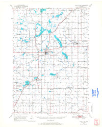
1950 · Turtle Lake
USGS Topo · 1:62,500
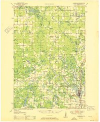
1951 · Cumberland
USGS Topo · 1:48,000
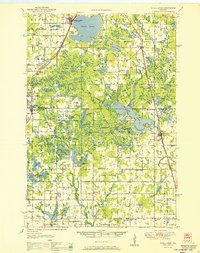
1951 · Shell Lake
USGS Topo · 1:48,000
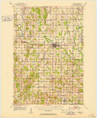
1951 · Barron
USGS Topo · 1:62,500
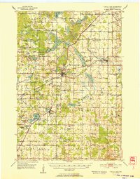
1952 · Turtle Lake
USGS Topo · 1:62,500

1953 · Rice Lake
USGS Topo · 1:250,000

1953 · Stillwater
USGS Topo · 1:250,000

1955 · Stillwater
USGS Topo · 1:250,000
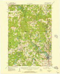
1956 · Cumberland
USGS Topo · 1:62,500

1958 · Stillwater
USGS Topo · 1:250,000