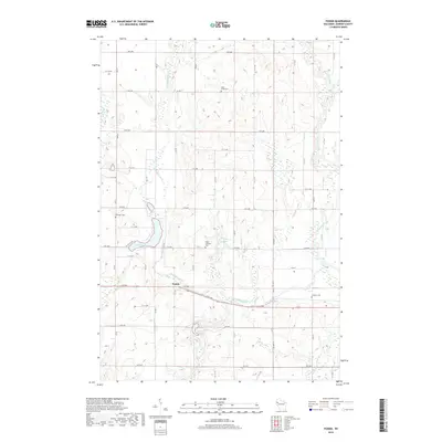
2018 Map of Poskin
USGS Topo · Published 2018About this map
The Vermillion River and Yellow River both wind through this section of Barron County, shaping a landscape defined by its glacial hydrology and agricultural grid. Near the center of this 2018 survey, the small community of Poskin sits at the intersection of 14th Ave and Co Hwy T, surrounded by several historic burial grounds that reflect the area's early settlement. Local researchers will find the Poskin Lutheran Cem and Saint Lukes Cem north of the main village, while Ebenezer Cem and another Lutheran Cem are found further afield. The terrain is marked by significant water bodies including Poskin Lake, Crystal Bay Lake, and the Sweeney Pond system. A highly organized road network, including Co Hwy F and Co Hwy TT, divides the land into distinct sections, illustrating the modern management of this rural Wisconsin territory.
Find a feature on this map
49 named features on this map. Tap any name to fly to it.
Don’t see what you’re looking for? This feature index may not catch every label — zoom into the map to look around manually.
Map Details
Editions of this 2018 Poskin Map
This is the sole edition of this map. No revisions or reprints were ever made.
Other maps of this area

1950 · Turtle Lake
USGS Topo · 1:62,500

1951 · Cumberland
USGS Topo · 1:48,000

1951 · Shell Lake
USGS Topo · 1:48,000

1951 · Barron
USGS Topo · 1:62,500

1952 · Turtle Lake
USGS Topo · 1:62,500

1953 · Rice Lake
USGS Topo · 1:250,000

1953 · Stillwater
USGS Topo · 1:250,000

1955 · Stillwater
USGS Topo · 1:250,000

1956 · Cumberland
USGS Topo · 1:62,500

1958 · Stillwater
USGS Topo · 1:250,000