
1973 Map of Post Canyon
USGS Topo · Published 1976About this map
The Pecos River carves a winding path through the desolate borderlands of three Texas counties on this 1970s survey. The landscape is defined by its dramatic drainage patterns, with significant side canyons such as Post Canyon, Tanislado Canyon, and Live Oak Canyon feeding into the river's deep valley. Human presence is sparse and utilitarian, concentrated around resource extraction and movement. Multiple Gas Wells and Drill Holes are scattered across the plateau, connected by a network of Jeep Trails and unnamed Private roads. Evidence of regional infrastructure appears in the form of a major Pipeline crossing the northern canyons. This map documents a rugged section of the state where the county lines of Crockett, Terrell, and Val Verde meet at an Indefinite Boundary along the river's edge.
Find a feature on this map
15 named features on this map. Tap any name to fly to it.
Don’t see what you’re looking for? This feature index may not catch every label — zoom into the map to look around manually.
Map Details
Editions of this 1973 Post Canyon Map
This is the sole edition of this map. No revisions or reprints were ever made.
Other maps of this area

1954 · Sonora
USGS Topo · 1:250,000

1958 · Sonora
USGS Topo · 1:250,000

1970 · Antone Canyon
USGS Topo · 1:24,000

1970 · Pandale
USGS Topo · 1:24,000
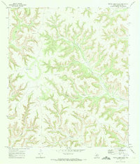
1970 · Prince Albert Draw
USGS Topo · 1:24,000
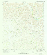
1973 · Hackberry Crossing
USGS Topo · 1:24,000
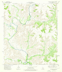
1973 · Sixshooter Canyon
USGS Topo · 1:24,000
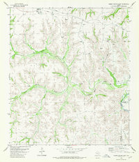
1980 · Geddis Canyon East
USGS Topo · 1:24,000
1980 · Oasis Ranch
USGS Topo · 1:24,000
1980 · Meyers Canyon NE
USGS Topo · 1:24,000