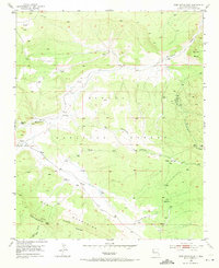
1952 Map of Post Office Flat
USGS Topo · Published 1971About this map
Cibola National Forest encompasses the majority of this high-altitude landscape, where the Continental Divide traverses the rugged peaks of the Zuni Mountains. The terrain is defined by dramatic elevation changes, from the crest of Oso Ridge down into deep incisions like Ojo Redondo Canyon and Diener Canyon. Human presence is marked by isolated homesteads and industrial sites, including the Serna Homestead and the Sawmill (Aband) near the northern boundary. Resource extraction is evident through the Mirabal Mine and several other unnamed mine workings. The map documents a network of primitive roads connecting scattered settlements such as Copperton and Sawyer, providing a record of mid-century ranching and timber activity before more modern developments altered these remote uplands.
Find a feature on this map
25 named features on this map. Tap any name to fly to it.
Don’t see what you’re looking for? This feature index may not catch every label — zoom into the map to look around manually.
Map Details
Editions of this 1952 Post Office Flat Map
3 editions found
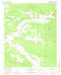
Other maps of this area

1886 · Wingate
USGS Topo · 1:250,000

1892 · Wingate
USGS Topo · 1:250,000

1951 · Mt Sedgwick
USGS Topo · 1:24,000

1952 · Valle Largo
USGS Topo · 1:24,000

1952 · Post Office Flat
USGS Topo · 1:24,000

1952 · Paxton Springs
USGS Topo · 1:24,000

1954 · Gallup
USGS Topo · 1:250,000

1958 · Gallup
USGS Topo · 1:250,000

1959 · Gallup
USGS Topo · 1:250,000

1961 · Cottonwood Canyon
USGS Topo · 1:24,000