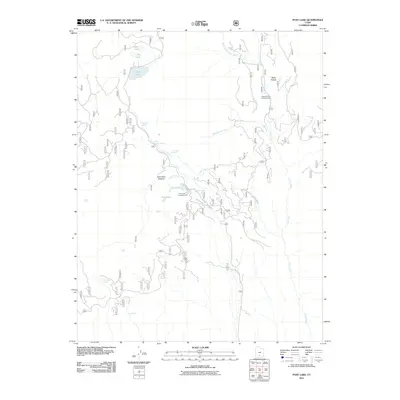
2011 Map of Posy Lake
USGS Topo · Published 2011About this map
Posy Lake and its surrounding highlands define this high-altitude landscape in the southern Utah mountains. The area is characterized by a dense network of springs and alpine lakes, including Cyclone Lake, Tule Lakes, and Green Lake, which feed the various branches of Deep Creek and Pine Creek. These water sources were vital for early seasonal grazing and later recreation, as evidenced by the establishment of Posy Lake Campground and Blue Spruce Campground.
Find a feature on this map
22 named features on this map. Tap any name to fly to it.
Don’t see what you’re looking for? This feature index may not catch every label — zoom into the map to look around manually.
Map Details
Editions of this 2011 Posy Lake Map
This is the sole edition of this map. No revisions or reprints were ever made.
Other maps of this area

1885 · Fish Lake
USGS Topo · 1:250,000

1886 · Escalante
USGS Topo · 1:250,000

1896 · Fish Lake
USGS Topo · 1:250,000

1956 · Escalante
USGS Topo · 1:250,000

1956 · Salina
USGS Topo · 1:250,000

1960 · Escalante
USGS Topo · 1:250,000

1960 · Salina
USGS Topo · 1:250,000

1962 · Salina
USGS Topo · 1:250,000

1964 · Griffin Point
USGS Topo · 1:24,000

1964 · Barker Reservoir
USGS Topo · 1:24,000