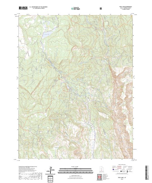
2023 Map of Posy Lake
USGS Topo · Published 2023About this map
High plateaus and deep drainages define this portion of the Dixie National Forest in Garfield County. The landscape is marked by a network of springs and alpine lakes, including Posy Lake, Green Lake, and the clustered Tule Lakes, which provide vital water sources in this arid terrain. A series of forest roads and pack trails, such as the Hells Backbone Rd and the Posey Lookout Trl, navigate the elevation changes between John Allen Bottom and the surrounding heights. Toward the southeast, the terrain descends sharply into the Box-Death Hollow Wilderness, where the deep incision of Death Hollow and The Box showcases the dramatic erosion patterns characteristic of the region. This 2023 survey documents the current state of water management and backcountry access, illustrating the remote nature of the Deep Creek watershed.
Find a feature on this map
38 named features on this map. Tap any name to fly to it.
Don’t see what you’re looking for? This feature index may not catch every label — zoom into the map to look around manually.
Map Details
Editions of this 2023 Posy Lake Map
This is the sole edition of this map. No revisions or reprints were ever made.
Other maps of this area

1885 · Fish Lake
USGS Topo · 1:250,000

1886 · Escalante
USGS Topo · 1:250,000

1896 · Fish Lake
USGS Topo · 1:250,000

1956 · Escalante
USGS Topo · 1:250,000

1956 · Salina
USGS Topo · 1:250,000

1960 · Escalante
USGS Topo · 1:250,000

1960 · Salina
USGS Topo · 1:250,000

1962 · Salina
USGS Topo · 1:250,000

1964 · Griffin Point
USGS Topo · 1:24,000

1964 · Barker Reservoir
USGS Topo · 1:24,000