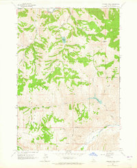
1963 Map of Potaman Peak
USGS Topo · Published 1965About this map
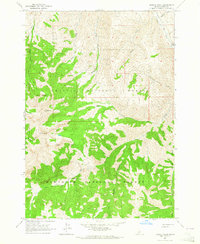
Challis National Forest dominates this mid-century topographic study, defined by the convergence of the Salmon River and the East Fork Salmon River. The high-elevation interior is marked by significant alpine features, including the prominent Potaman Peak and the high-altitude Railroad Ridge in the southwest corner. The drainage patterns are intricate, with Sullivan Creek feeding into the namesake Sullivan Lake, while other alpine basins hold Jimmy Smith Lake and Big Lake.
Find a feature on this map
21 named features on this map. Tap any name to fly to it.
Don’t see what you’re looking for? This feature index may not catch every label — zoom into the map to look around manually.
Map Details
Editions of this 1963 Potaman Peak Map
This is the sole edition of this map. No revisions or reprints were ever made.
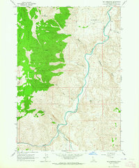
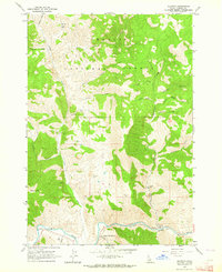
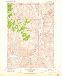
Other maps of this area

1919 · Custer
USGS Topo · 1:125,000

1922 · Custer
USGS Topo · 1:125,000

1929 · Bayhorse
USGS Topo · 1:125,000

1957 · Challis
USGS Topo · 1:250,000

1960 · Challis
USGS Topo · 1:250,000

1963 · Challis
USGS Topo · 1:250,000
1963 · Bald Mountain
USGS Topo · 1:24,000
1963 · Clayton
USGS Topo · 1:24,000
1963 · Ziegler Basin
USGS Topo · 1:24,000
1963 · Bowery Peak
USGS Topo · 1:24,000