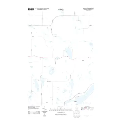
2013 Map of Potato Lake
USGS Topo · Published 2013About this map
Potato Lake sits at the center of this hydrography-rich landscape in Madge, where a dense network of glacial lakes and kettle ponds defines the local geography. The area's high point is marked by the Potato Lake Fire Tower, overlooking a complex system of waterways including Potato Cr and Dugan Run. To the south, the terrain constricts at a prominent landform known as The Narrows, which separates Watson Lake and Long Lake. The map reveals a high concentration of spring-fed features, such as Westenberg Spring and Mackay Springs, suggesting the vital role of the local aquifer. While the region is primarily defined by its water bodies, a grid of secondary roads like Co HWY-M and Wi-70 provide access to numerous secluded lakes including Glendenning Lake, Seymour Lake, and Leesome Lake.
Find a feature on this map
52 named features on this map. Tap any name to fly to it.
Don’t see what you’re looking for? This feature index may not catch every label — zoom into the map to look around manually.
Map Details
Editions of this 2013 Potato Lake Map
This is the sole edition of this map. No revisions or reprints were ever made.
Other maps of this area

1948 · Spooner
USGS Topo · 1:48,000

1948 · Stone Lake
USGS Topo · 1:48,000

1949 · Spooner
USGS Topo · 1:48,000

1949 · Rice Lake
USGS Topo · 1:48,000

1950 · Stone Lake
USGS Topo · 1:48,000

1951 · Shell Lake
USGS Topo · 1:48,000

1951 · Rice Lake
USGS Topo · 1:48,000

1953 · Rice Lake
USGS Topo · 1:250,000

1959 · Rice Lake
USGS Topo · 1:250,000

1965 · Rice Lake
USGS Topo · 1:62,500