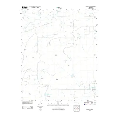
2010 Map of Potato Peaks
USGS Topo · Published 2010About this map
Sulphur Spring Mountain and the eponymous Potato Peaks dominate this landscape in eastern Oklahoma. The map reveals a rural geography defined by rugged high points like Russell Mountain, Wolf Mountain, and Pikes Peak, separated by a network of creeks and named hollows. This 2010 survey details water management and land use through the presence of the Caston Mountain Creek Site 2 Reservoir and Caston Mountain Creek Site 5 Reservoir, along with their respective dams. For genealogists and local historians, the placement of the Dog Creek Cemetery near Dog Creek and the Long Prairie Cemetery in the northeast provides essential locational data for family research. The drainage patterns of Brazil Creek, Opossum Creek, and Wildhorse Creek show how the local terrain dictates the winding paths of county roads like Co RD 146 and Co RD e1310.
Find a feature on this map
47 named features on this map. Tap any name to fly to it.
Don’t see what you’re looking for? This feature index may not catch every label — zoom into the map to look around manually.
Map Details
Editions of this 2010 Potato Peaks Map
This is the sole edition of this map. No revisions or reprints were ever made.
Other maps of this area

1900 · Sallisaw
USGS Topo · 1:125,000

1900 · Winding Stair
USGS Topo · 1:125,000

1909 · Winding Stair
USGS Topo · 1:125,000

1911 · Sallisaw
USGS Topo · 1:125,000

1946 · Fort Smith
USGS Topo · 1:250,000

1950 · Mcalester
USGS Topo · 1:250,000

1959 · Heavener
USGS Topo · 1:62,500

1962 · McAlester
USGS Topo · 1:250,000

1965 · Fort Smith
USGS Topo · 1:250,000

1965 · McAlester
USGS Topo · 1:250,000