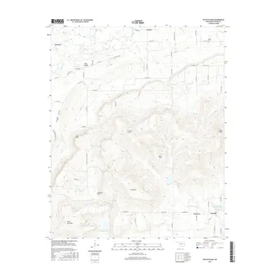
2016 Map of Potato Peaks
USGS Topo · Published 2016About this map
Potato Peaks and the high ridges of Le Flore County dominate this 2016 survey, illustrating a landscape of steep elevations and narrow creek valleys. Small settlements like Bordeaux and Latham sit in the lower-lying northern sections, connected by a network of county roads such as Latham Rd and Calhoun Rd. The terrain rises sharply toward the south, where Russell Mtn, Wolf Mtn, and Pikes Peak form a significant highland barrier between the Brazil Creek and Mountain Creek watersheds.
Find a feature on this map
62 named features on this map. Tap any name to fly to it.
Don’t see what you’re looking for? This feature index may not catch every label — zoom into the map to look around manually.
Map Details
Editions of this 2016 Potato Peaks Map
This is the sole edition of this map. No revisions or reprints were ever made.
Other maps of this area

1900 · Sallisaw
USGS Topo · 1:125,000

1900 · Winding Stair
USGS Topo · 1:125,000

1909 · Winding Stair
USGS Topo · 1:125,000

1911 · Sallisaw
USGS Topo · 1:125,000

1946 · Fort Smith
USGS Topo · 1:250,000

1950 · Mcalester
USGS Topo · 1:250,000

1959 · Heavener
USGS Topo · 1:62,500

1962 · McAlester
USGS Topo · 1:250,000

1965 · Fort Smith
USGS Topo · 1:250,000

1965 · McAlester
USGS Topo · 1:250,000