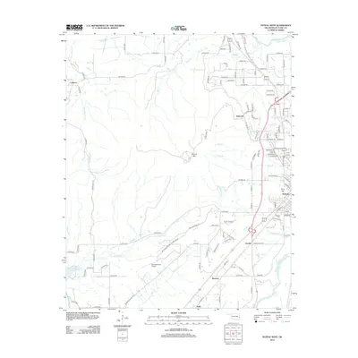
2012 Map of Poteau West
USGS Topo · Published 2012About this map
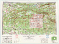
Cavanal Mtn anchors the center of this landscape in Le Flore County, overlooking a network of small communities and rugged terrain west of the city of Poteau. The map illustrates a transition between the established city grid and the more isolated settlements of Witteville and Calhoun. Educational and community anchors like the Carl Albert State Coll and Poteau Beauty College sit on the eastern edge of the survey, while the Oakland Cem provides a point of interest for those researching local family history.
Find a feature on this map
122 named features on this map. Tap any name to fly to it.
Don’t see what you’re looking for? This feature index may not catch every label — zoom into the map to look around manually.
Map Details
Editions of this 2012 Poteau West Map
This is the sole edition of this map. No revisions or reprints were ever made.
Other maps of this area
1900 · Sallisaw
USGS Topo · 1:125,000
1900 · Winding Stair
USGS Topo · 1:125,000
1909 · Winding Stair
USGS Topo · 1:125,000
1911 · Sallisaw
USGS Topo · 1:125,000

1946 · Fort Smith
USGS Topo · 1:250,000

1950 · Mcalester
USGS Topo · 1:250,000
1959 · Heavener
USGS Topo · 1:62,500
1962 · McAlester
USGS Topo · 1:250,000
1965 · Fort Smith
USGS Topo · 1:250,000
1965 · McAlester
USGS Topo · 1:250,000