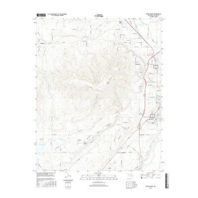
2016 Map of Poteau West
USGS Topo · Published 2016About this map
Cavanal Mtn dominates the central landscape of this LeFlore County region, serving as a massive topographical anchor between the surrounding valley settlements. To the east, the city of Poteau expands toward the base of the heights, featuring the Carl Albert State Coll and the Oakland Cem. The settlement pattern follows the lower elevations and creek drainages, with Shady Point situated to the north near the Poteau River and Witteville tucked into the eastern slopes. Evidence of rural infrastructure is visible in the scattered cemeteries such as Mountain Home Cem and Cedar Grove Cem, alongside the Wolf Mountain Airport near Little Mountain Cr. Water management is represented by the Caston Mountain Cr Site 5 Reservoir, illustrating the varied land use from urban centers to remote mountain terrain.
Find a feature on this map
93 named features on this map. Tap any name to fly to it.
Don’t see what you’re looking for? This feature index may not catch every label — zoom into the map to look around manually.
Map Details
Editions of this 2016 Poteau West Map
This is the sole edition of this map. No revisions or reprints were ever made.
Other maps of this area

1900 · Sallisaw
USGS Topo · 1:125,000

1900 · Winding Stair
USGS Topo · 1:125,000

1909 · Winding Stair
USGS Topo · 1:125,000

1911 · Sallisaw
USGS Topo · 1:125,000

1946 · Fort Smith
USGS Topo · 1:250,000

1950 · Mcalester
USGS Topo · 1:250,000

1959 · Heavener
USGS Topo · 1:62,500

1962 · McAlester
USGS Topo · 1:250,000

1965 · Fort Smith
USGS Topo · 1:250,000

1965 · McAlester
USGS Topo · 1:250,000