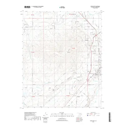
2018 Map of Poteau West
USGS Topo · Published 2018About this map
Cavanal Mtn dominates the central topography of this Oklahoma landscape, rising sharply west of the regional hub of Poteau. The settlement pattern follows the lower elevations around the mountain's base, with smaller communities like Witteville, Calhoun, and Shady Point situated along the northern and eastern fringes. The Poteau River winds through the northeast corner, while smaller drainages like Polk Cr and Town Cr carve valleys through the rugged interior. Local history is preserved in several burial grounds, including Oakland Cem and Cedar Grove Cem near the town center, and the more remote Mountain Home Cem to the south. Transportation is defined by the Cavanal Scenic Expy and a network of county roads that navigate the complex terrain. South of the main peak, Wolf Mountain Airport sits near the headwaters of Little Mountain Cr, serving as a notable landmark in the rural district.
Find a feature on this map
138 named features on this map. Tap any name to fly to it.
Don’t see what you’re looking for? This feature index may not catch every label — zoom into the map to look around manually.
Map Details
Editions of this 2018 Poteau West Map
This is the sole edition of this map. No revisions or reprints were ever made.
Other maps of this area

1900 · Sallisaw
USGS Topo · 1:125,000

1900 · Winding Stair
USGS Topo · 1:125,000

1909 · Winding Stair
USGS Topo · 1:125,000

1911 · Sallisaw
USGS Topo · 1:125,000

1946 · Fort Smith
USGS Topo · 1:250,000

1950 · Mcalester
USGS Topo · 1:250,000

1959 · Heavener
USGS Topo · 1:62,500

1962 · McAlester
USGS Topo · 1:250,000

1965 · Fort Smith
USGS Topo · 1:250,000

1965 · McAlester
USGS Topo · 1:250,000