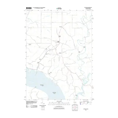
2010 Map of Potosi
USGS Topo · Published 2010About this map
The Mississippi River and its confluence with the Grant River define the southwestern edge of this Grant County landscape. The settlement of Potosi sits inland along the winding Potosi Creek, surrounded by established villages like Tennyson, British Hollow, and Buena Vista. For genealogists and local historians, the area is notable for its numerous burial grounds, including Saint Thomas Cemetery and Osceola Cemetery. The topography is marked by named hollows such as Yankee Hollow and Hog Hollow, reflecting the local practice of naming the deep valleys between ridges. Along the riverfront, landforms like Island Number Two Hundred Eleven and landmarks like Spechts Ferry indicate the historical importance of the river corridor for transit and commerce. To the north, Rockville sits near where Willow Creek meets the broader drainage system.
Find a feature on this map
69 named features on this map. Tap any name to fly to it.
Don’t see what you’re looking for? This feature index may not catch every label — zoom into the map to look around manually.
Map Details
Editions of this 2010 Potosi Map
This is the sole edition of this map. No revisions or reprints were ever made.
Other maps of this area

1900 · Lancaster
USGS Topo · 1:125,000

1904 · Lancaster
USGS Topo · 1:125,000

1908 · Lancaster
USGS Topo · 1:125,000

1955 · Balltown
USGS Topo · 1:24,000

1956 · Dubuque North
USGS Topo · 1:24,000

1956 · Sherrill
USGS Topo · 1:24,000

1957 · Potosi
USGS Topo · 1:24,000

1959 · Dubuque
USGS Topo · 1:250,000

1961 · Dubuque
USGS Topo · 1:250,000
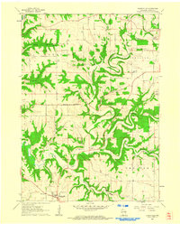
1961 · Dickeyville
USGS Topo · 1:24,000