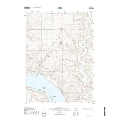
2018 Map of Potosi
USGS Topo · Published 2018About this map
Potosi and Tennyson occupy a landscape deeply etched by the driftless terrain of southwest Wisconsin, where ridges and steep hollows drop toward the Mississippi floodplains. The settlement pattern follows the relief, with villages like British Hollow and Rockville tucked into the valleys of Willow Creek and Arrow Branch. This 2018 survey reveals the persistent imprint of nineteenth-century heritage through its numerous burial grounds, including Saint Thomas Cemetery and the Osceola Cemetery.
Find a feature on this map
89 named features on this map. Tap any name to fly to it.
Don’t see what you’re looking for? This feature index may not catch every label — zoom into the map to look around manually.
Map Details
Editions of this 2018 Potosi Map
This is the sole edition of this map. No revisions or reprints were ever made.
Other maps of this area

1900 · Lancaster
USGS Topo · 1:125,000

1904 · Lancaster
USGS Topo · 1:125,000

1908 · Lancaster
USGS Topo · 1:125,000

1955 · Balltown
USGS Topo · 1:24,000

1956 · Dubuque North
USGS Topo · 1:24,000

1956 · Sherrill
USGS Topo · 1:24,000

1957 · Potosi
USGS Topo · 1:24,000

1959 · Dubuque
USGS Topo · 1:250,000

1961 · Dubuque
USGS Topo · 1:250,000
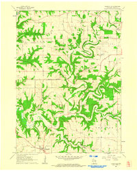
1961 · Dickeyville
USGS Topo · 1:24,000