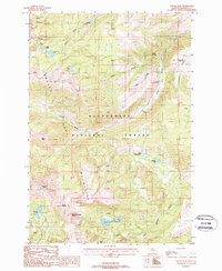
1988 Map of Potosi Peak
USGS Topo · Published 1988About this map
Tobacco Root Mountains dominate this high-altitude landscape, characterized by numerous glacial lakes and deep-cut drainages within the Beaverhead National Forest. This 1980s-era study documents a rugged interior where water resources like Hollow Top Lake, Albro Lake, and the Branham Lakes feed into various forks of North Willow Creek and Mill Creek. The map records a legacy of exploration and resource extraction, specifically at the Beulah Mine and New Deal Mine, alongside scattered prospects found throughout the alpine terrain. Recreational and natural features such as Potosi Hot Springs and Potosi Campground illustrate the transition of the area toward seasonal land use. Dramatic peaks including Potosi Peak and Mount Bradley provide vertical context for researchers tracking high-mountain mining claims or backcountry topography.
Find a feature on this map
34 named features on this map. Tap any name to fly to it.
Don’t see what you’re looking for? This feature index may not catch every label — zoom into the map to look around manually.
Map Details
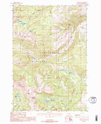
Editions of this 1988 Potosi Peak Map
2 editions found
Other maps of this area

1888 · Three Forks
USGS Topo · 1:250,000

1893 · Dillon
USGS Topo · 1:250,000

1894 · Three Forks
USGS Topo · 1:250,000

1895 · Three Forks
USGS Topo · 1:250,000

1947 · Bozeman
USGS Topo · 1:250,000

1948 · Bozeman
USGS Topo · 1:250,000

1950 · Harrison
USGS Topo · 1:62,500

1950 · Virginia City
USGS Topo · 1:62,500

1955 · Bozeman
USGS Topo · 1:250,000

1955 · Dillon
USGS Topo · 1:250,000